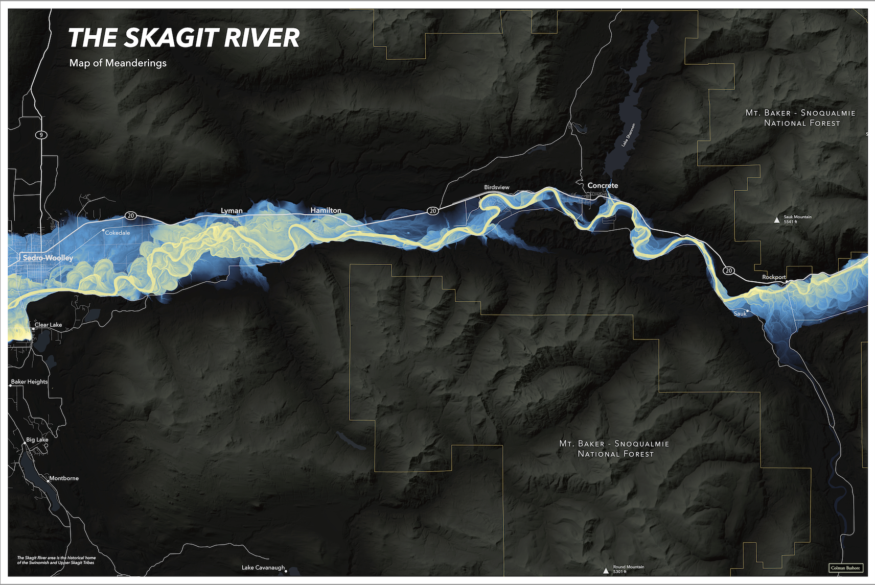
Skagit River Meander Map
I created this map poster as an independent project during my internship at Rhumbline Maps. The goal of the map was to create a beautiful map wall poster that highlighted the ancient and raw nature of a river close to my hometown. I built a relative elevation model derived from Lidar elevation data to illuminate the previous oxbows and meanders of the river in a method inspired by Daniel Coe. I had not seen any map posters for sale that told the story of a river while also showing some of the surrounding terrain, and so I decided to create this map.
Skills and software: QGIS, Lidar elevation data, inverse distance weighting, terrain modeling, Adobe Illustrator, Adobe Photoshop


