Port Townsend
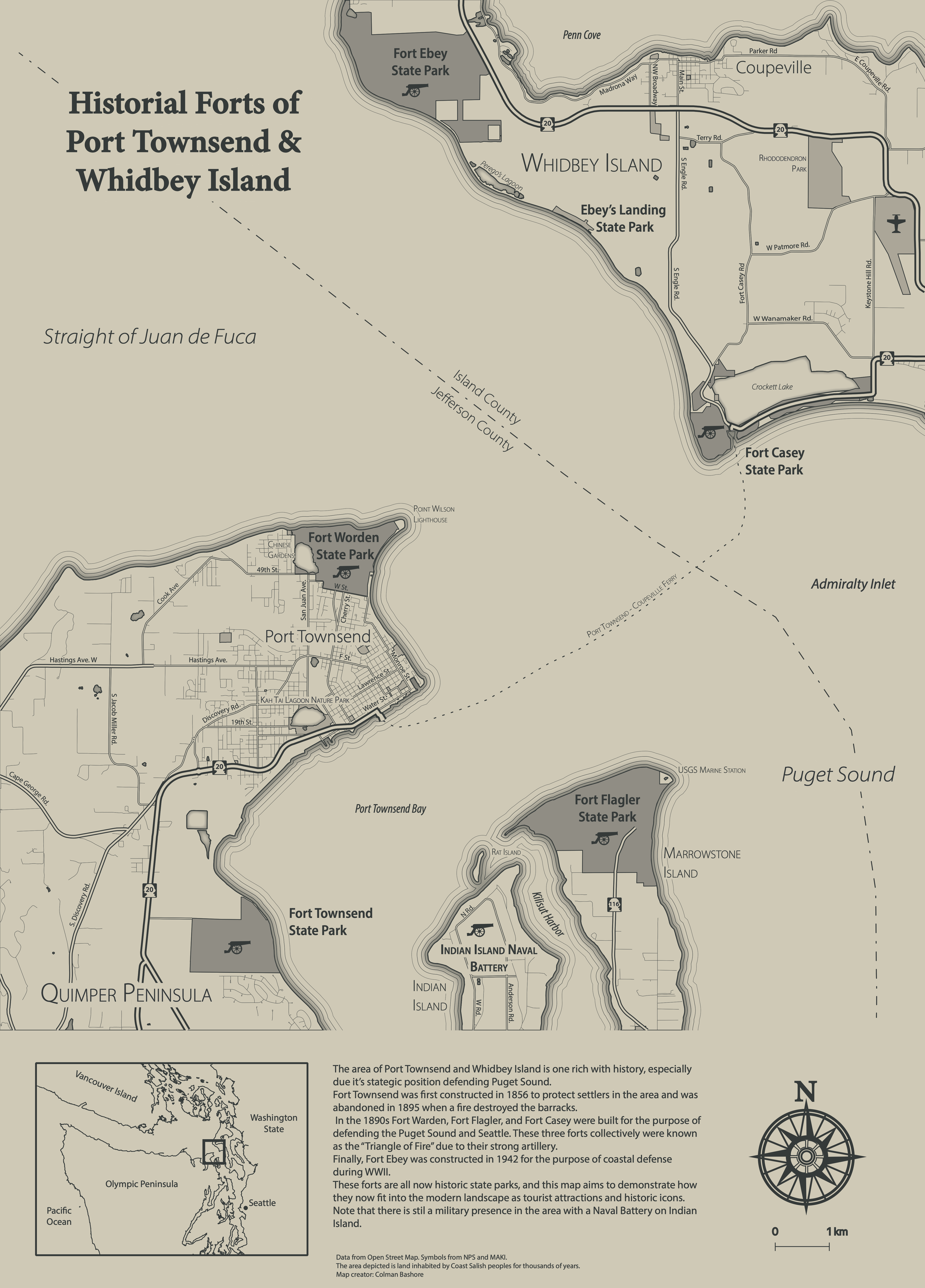
This historical map was created as part of a cartography course at Middlebury College. It shows the network of forts that were constructed throughout Whidbey Island and the Quimper Peninsula in my home state of Washington in the 1800s. As a child, I spent a lot of time exploring these abandoned forts with my brothers imagining their bustling past.
Skills and software: QGIS, Adobe Illustrator, Open Street Map, Cartography


